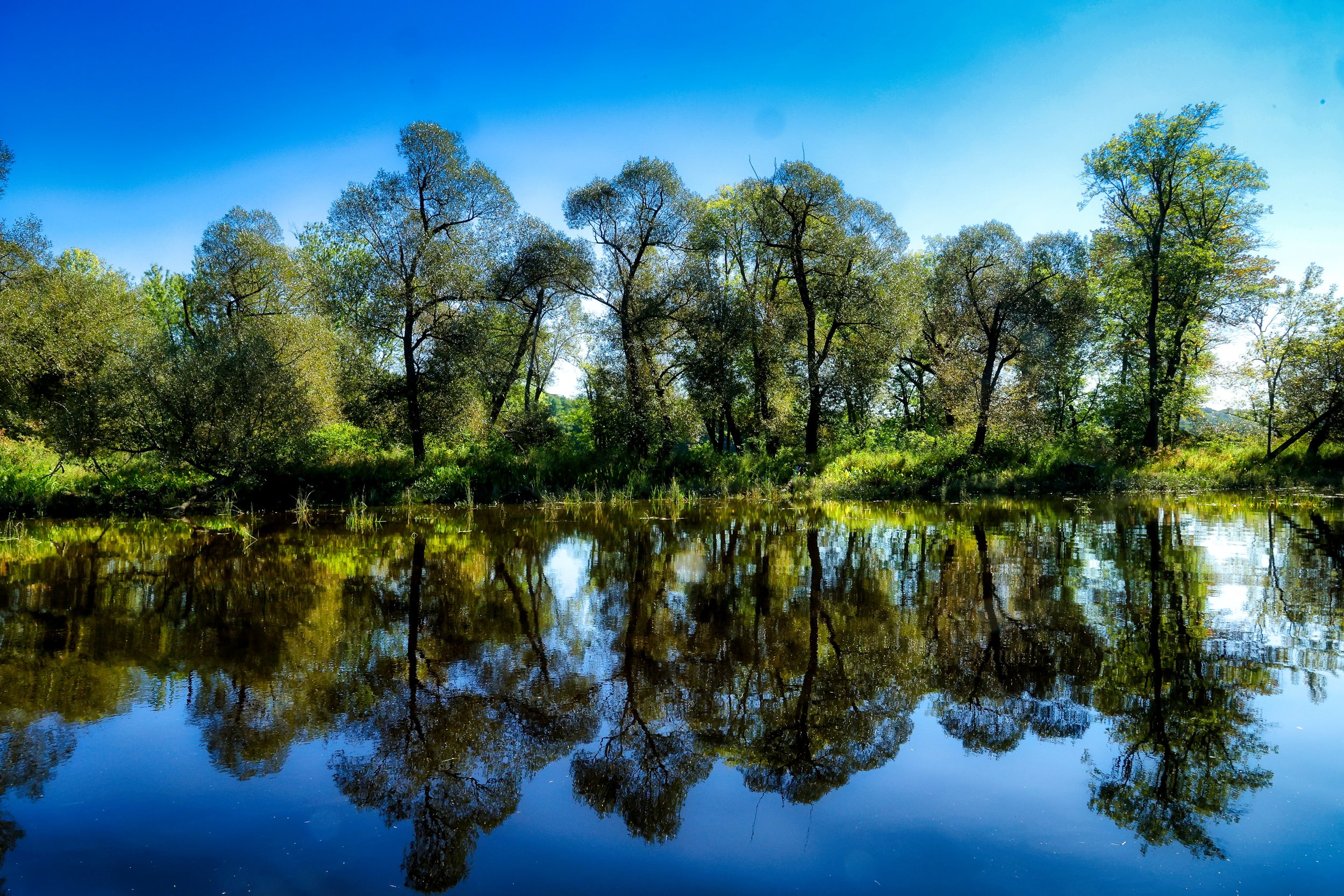
Trees Between Worlds
There is an island in the just to the south of Shephard Point in Hallowell formed out of over hundred years of collected sediment. Where ocean going schooners used to tie up, there is a shallow channel down the backside of the point. In fact, in the satellite photo below, which was shot at low tide, the channel running to the left of the “S” in Shepard Point is practically dry.
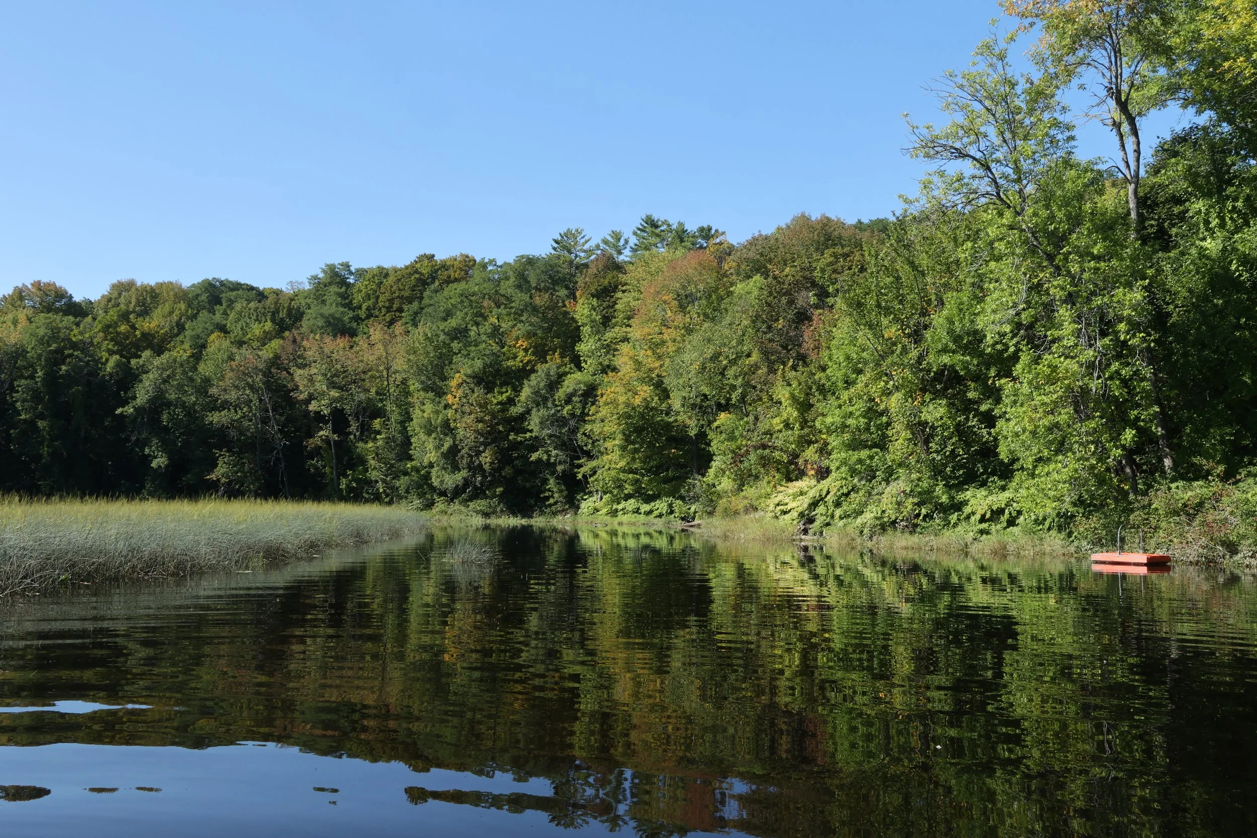
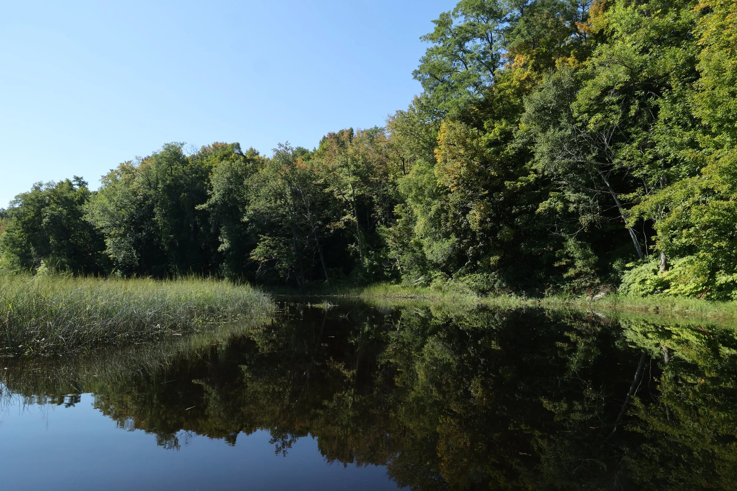
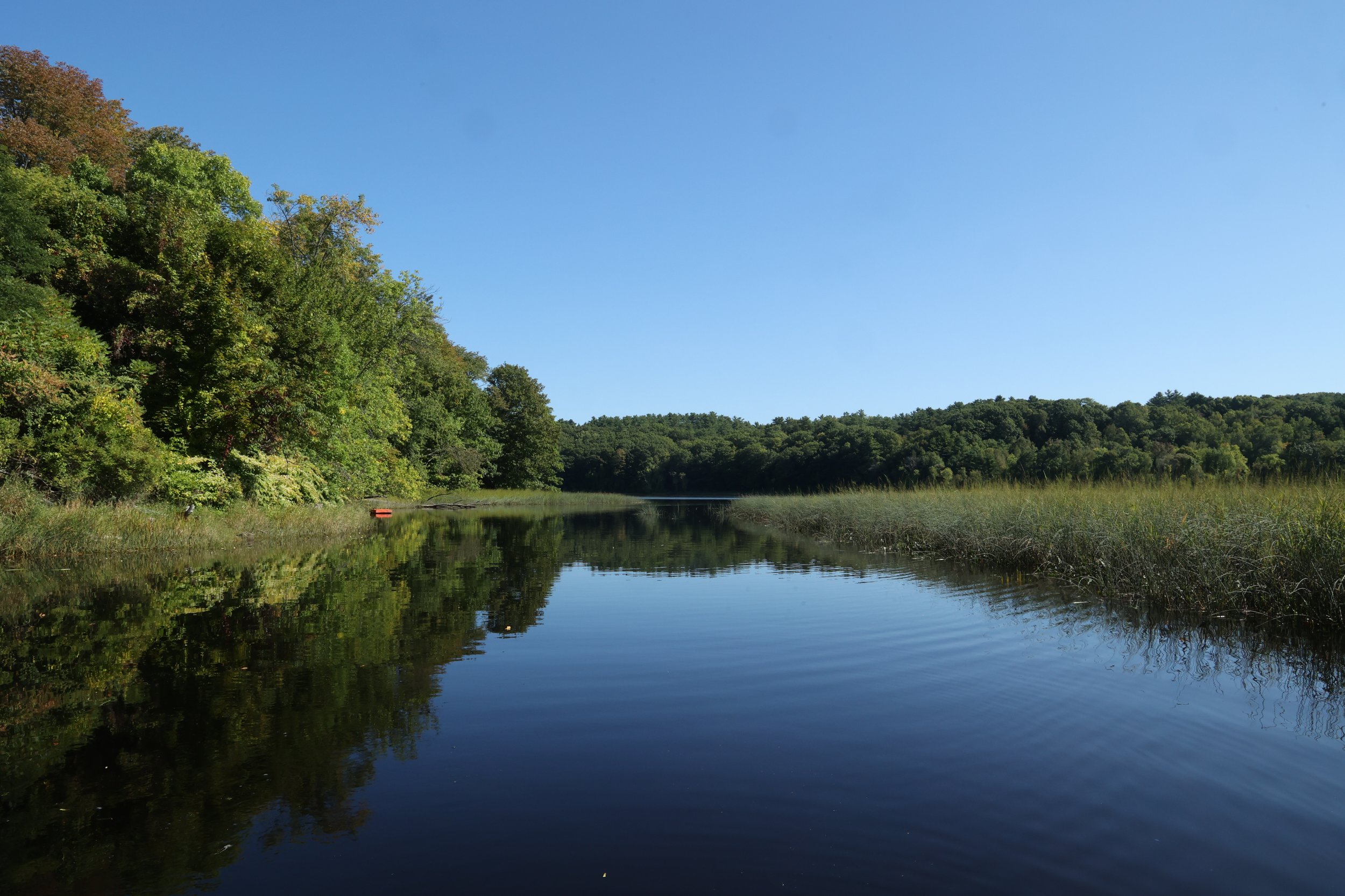
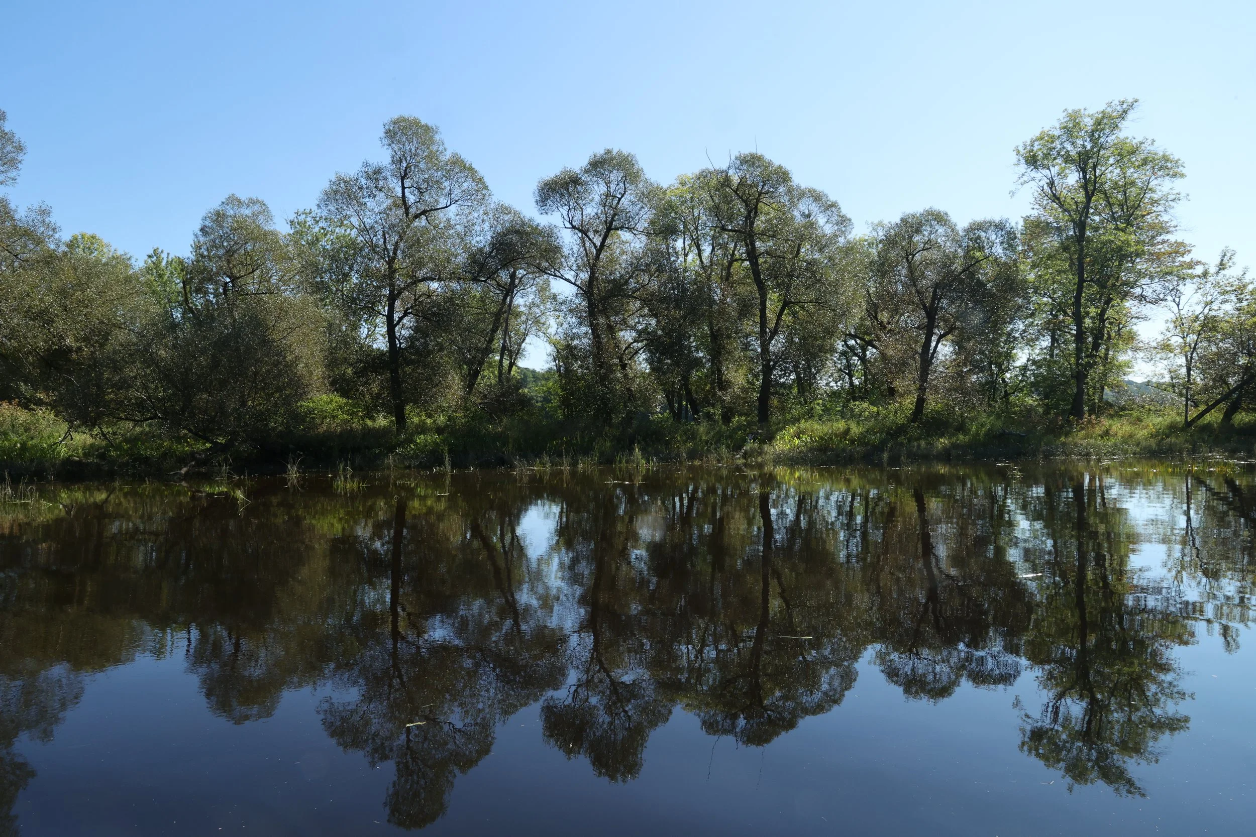
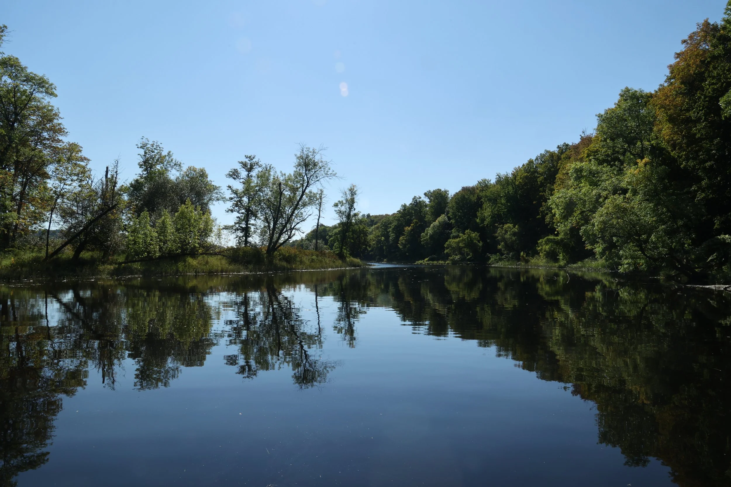
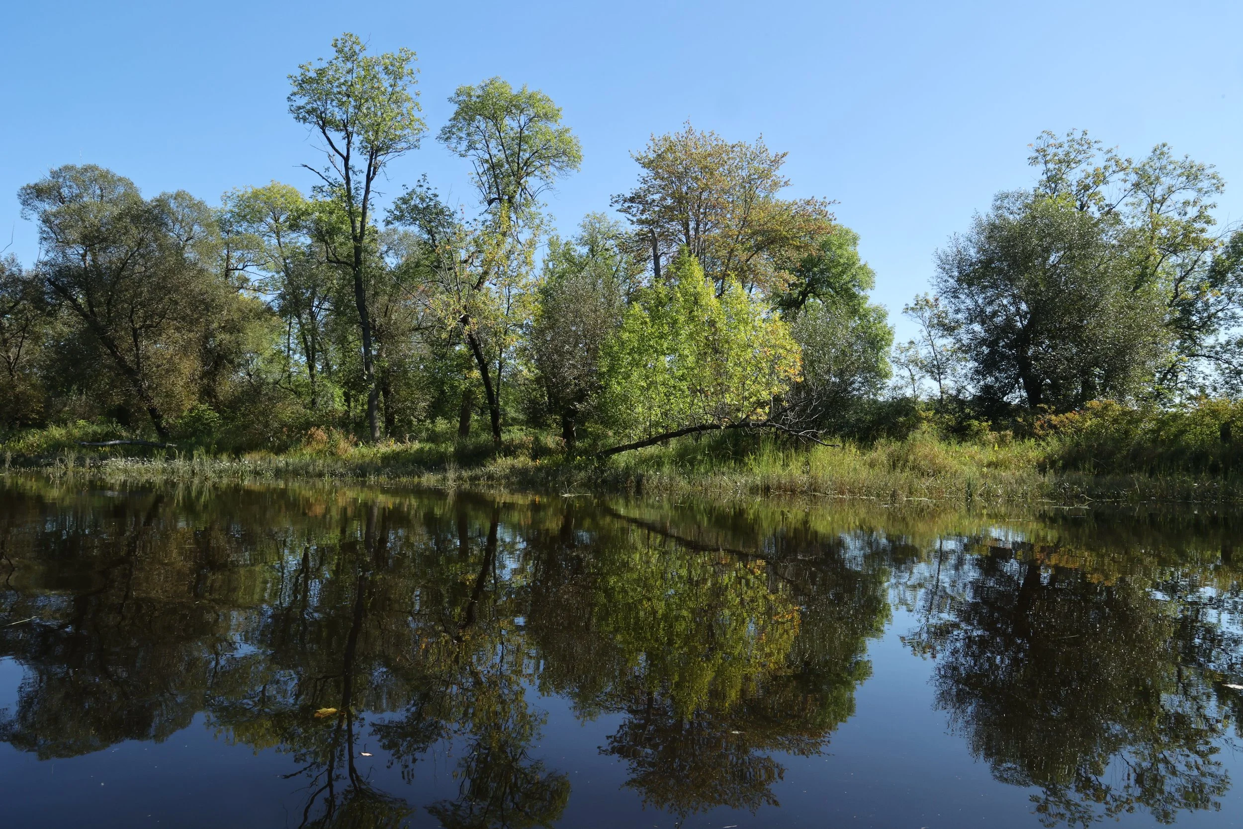
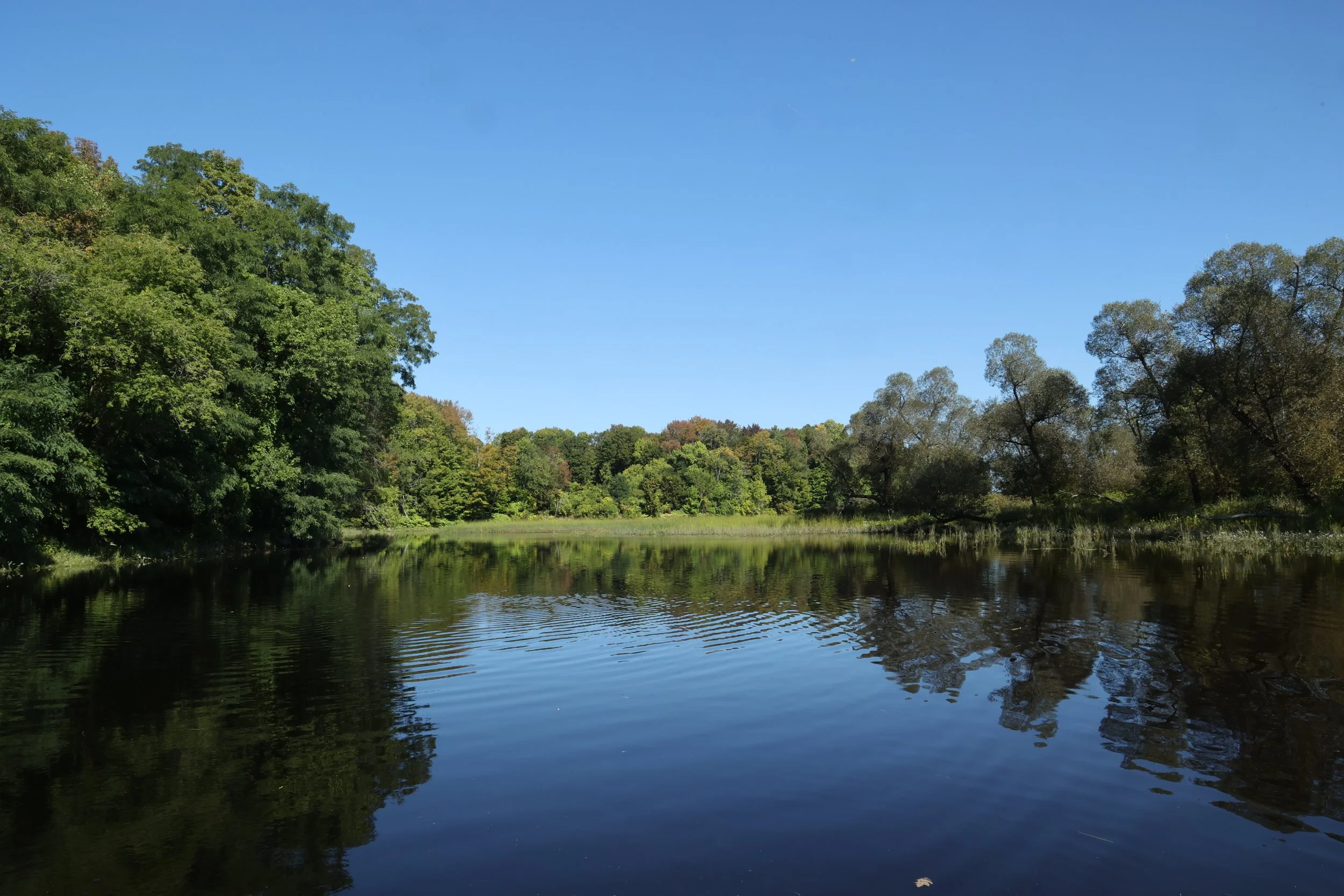
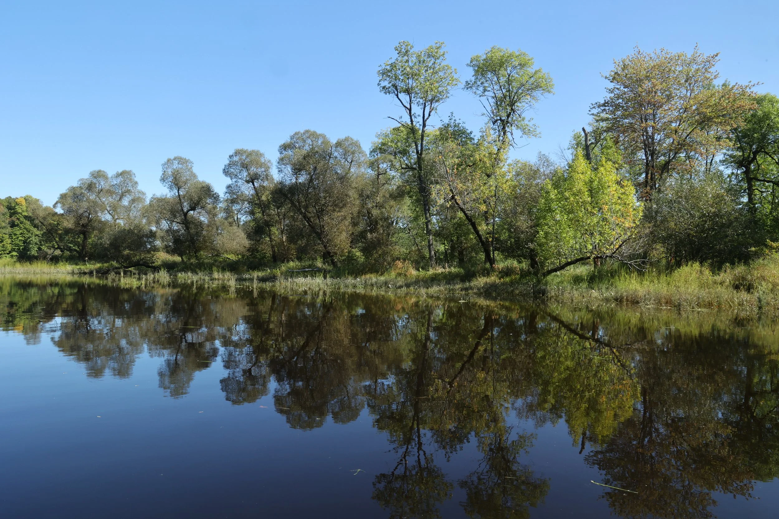
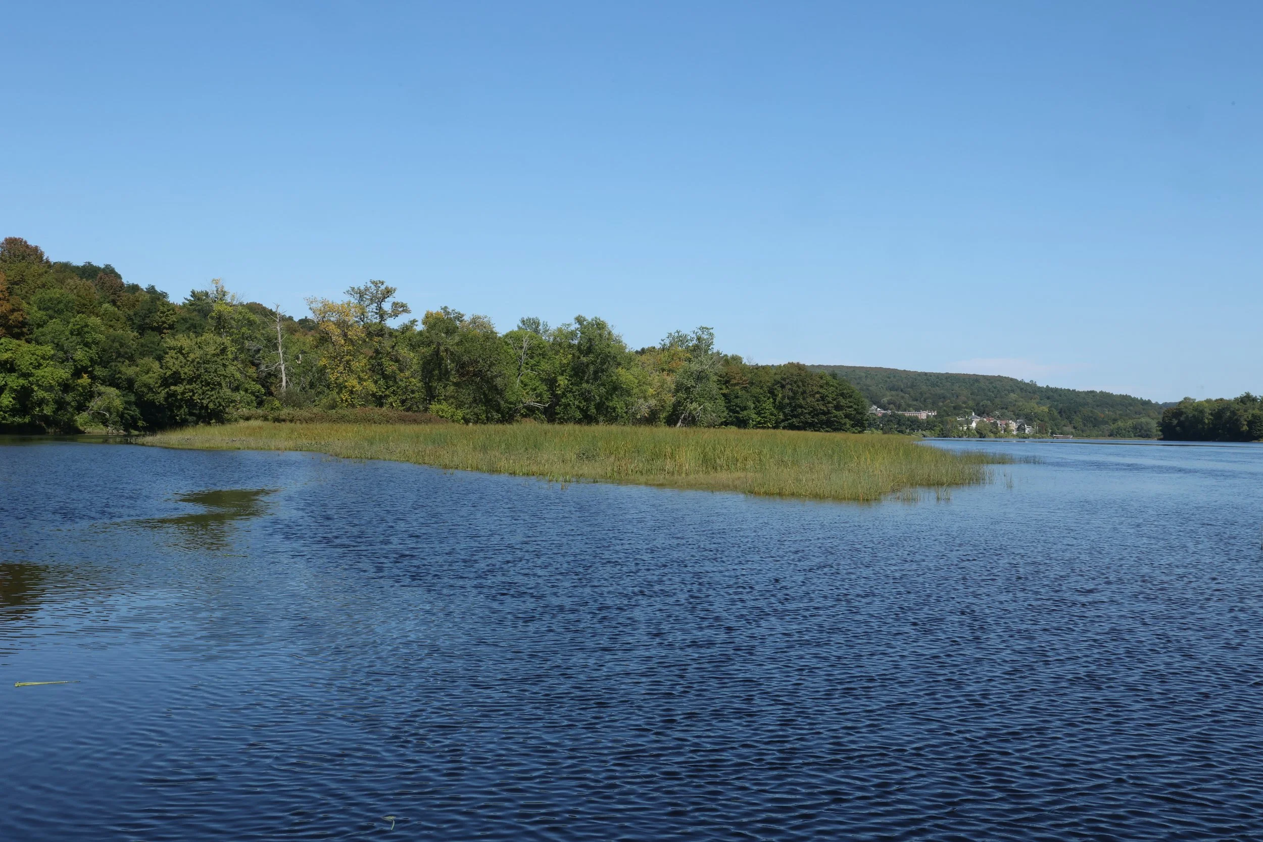
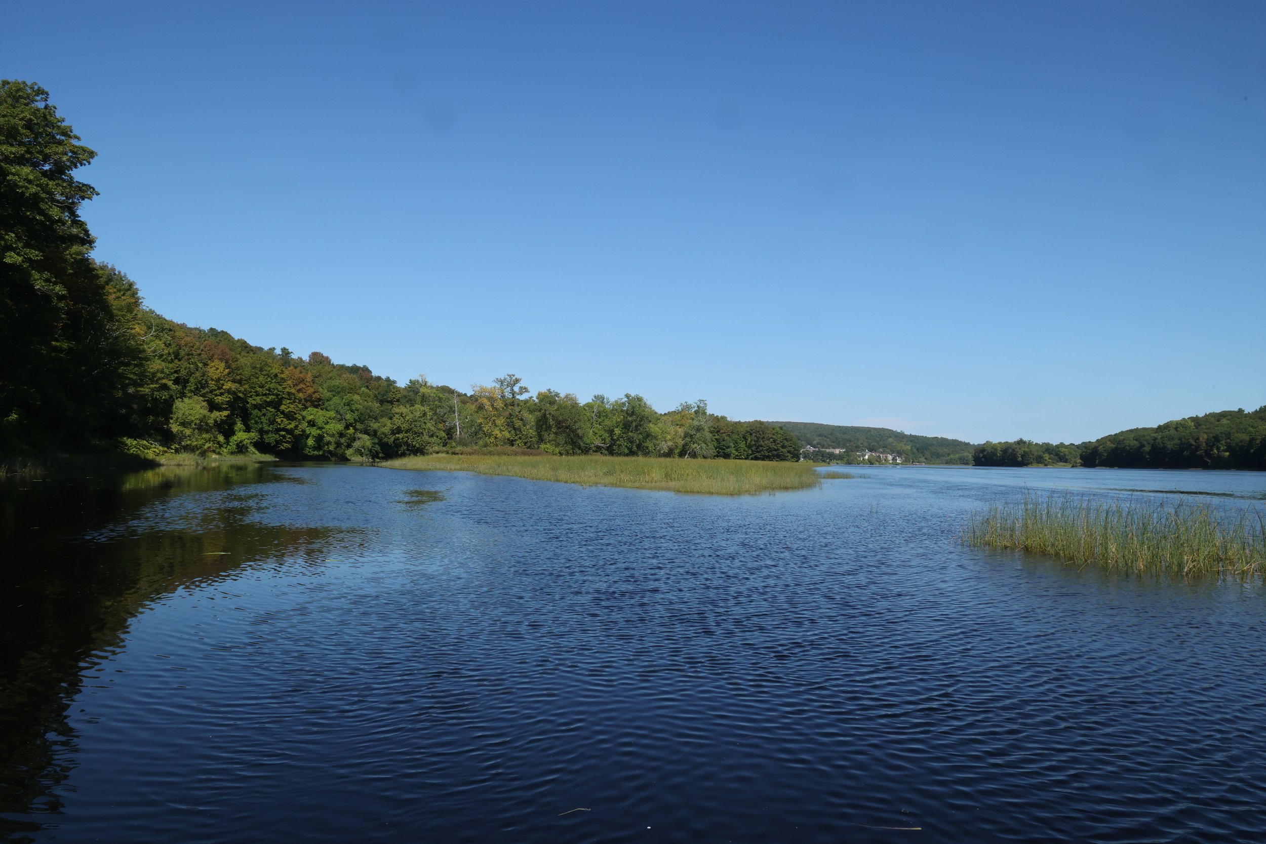
However, when the water is high enough you can get back to a secluded passageway that is quite beautiful (scroll down for a gallery of unedited photos).
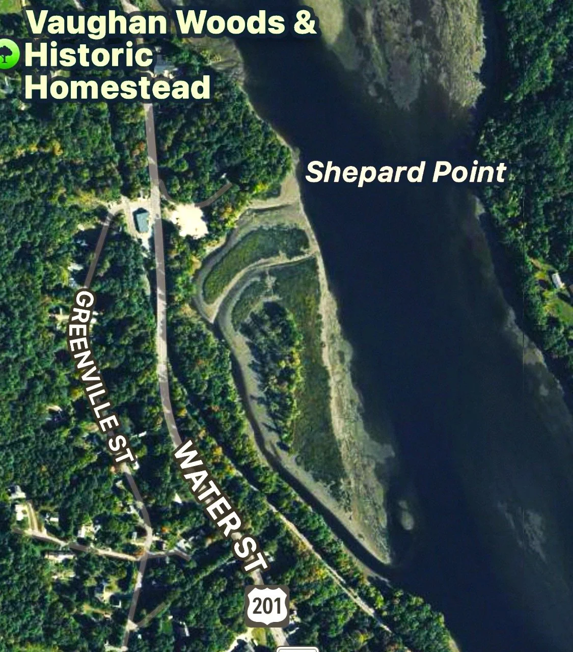
Satellite photos of the island behind Shepard Point.
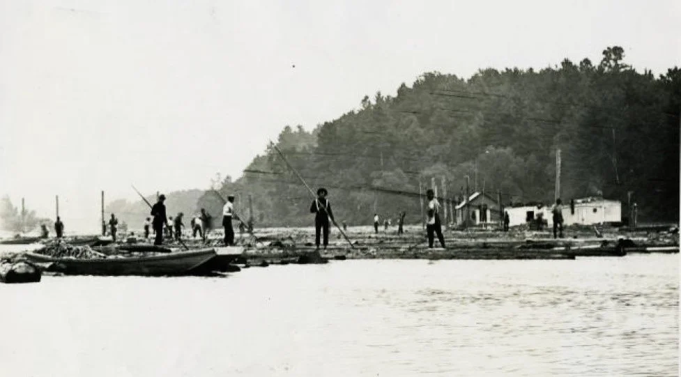
Below is a photo of the water behind Shepard Point in the late 1800’s. The backwater was used to sort logs floated down the river. The little buildings in the right side of the photo are where the island is now, but photos from the period show that they were on floats. Undoubtedly, a good number of logs settled to the bottom and helped form the island we have today. Note all the industrial buildings on the point itself. The large building with the sawtooth roof profile was an enormous ice warehouse. Scroll down for gallery of photos of this area today,
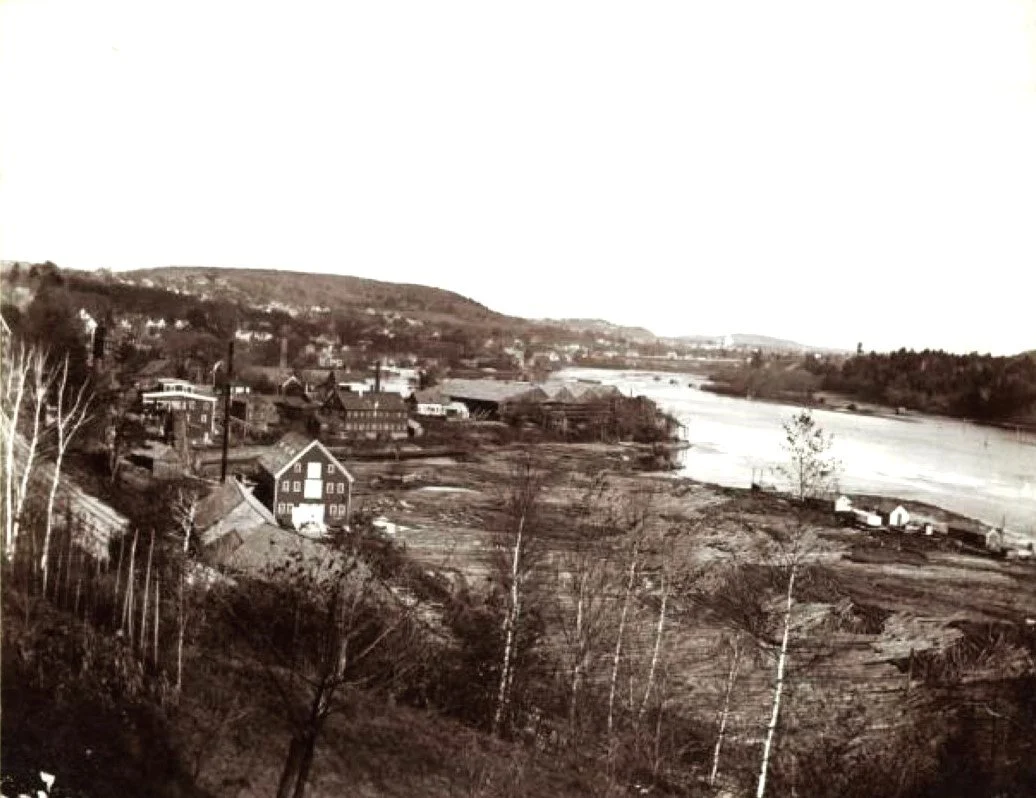
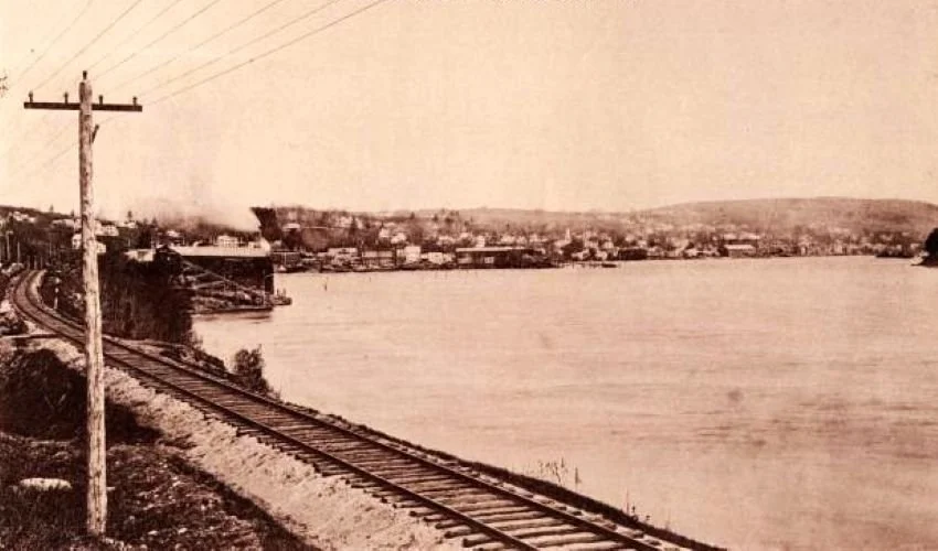
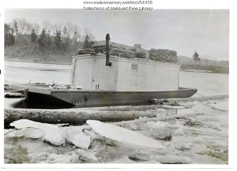
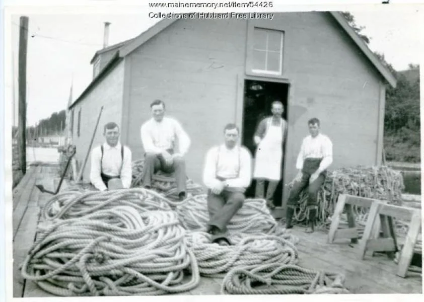
Here are some old photos, mostly from the Hubbard Collection (also available on the Maine Memory Network) from the late 19th Century.